Visualization of the elevation from DEM (RGBA tiles) including drawing the tracks, labels and points.
Make a first release of Terrain3D in MapLibre GL JS.
GitHub Pull Request: https://github.com/maplibre/maplibre-gl-js/pull/165
Released: May 2022
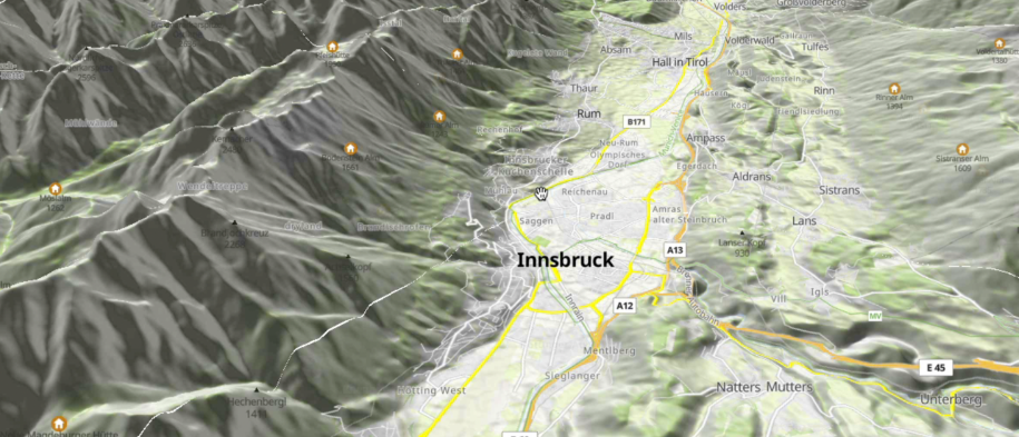
Visualization of the elevation from DEM (RGBA tiles) including drawing the tracks, labels and points.
Make a first release of Terrain3D in MapLibre GL JS.
GitHub Pull Request: https://github.com/maplibre/maplibre-gl-js/pull/165
Released: May 2022