← Back to MapLibre Native roadmap
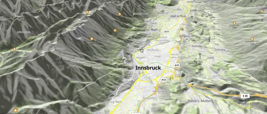
Visualization of the elevation from DEM (RGBA tiles) including drawing the tracks, labels and points.
← Back to MapLibre Native roadmap
Visualization of the elevation from DEM (RGBA tiles) including drawing the tracks, labels and points.