Feb 3, 2026
Welcome to the January 2026 edition of MapLibre Newsletter! This edition covers project updates across the MapLibre ecosystem, a round-up of events from the past month, and highlights from our growing global community.
MapLibre continues to move forward thanks to the support of its community. Since launching GitHub Sponsors, 87 sponsors have supported MapLibre over time, with 35 sponsors currently backing the project, alongside 40+ community backers on Open Collective contributing varied amounts.
Thank you to everyone who supports MapLibre with their time, feedback, code, and financial contributions 💙.
Our sincere thanks to the individuals and organizations who support MapLibre through GitHub Sponsors and Open Collective. Your contributions, big or small, help keep the project open, independent, and community-driven.
📱 MapLibre Native
-
We’ve published the test app for iOS on TestFlight!
If you have a spare iPhone lying around, please enroll and run the ‘long running test’ made by Adrian Cojocaru. Any crashes are automatically reported to our Sentry project and will be available for MapLibre developers to investigate1. Testflight link: https://testflight.apple.com/join/h81pYA1M
-
Nathan Olson added camera roll support to MapLibre Native (#3011). This feature is now available on both MapLibre iOS and MapLibre Android.
-
Nathan also is working on a distance-based level-of-detail(LOD) implementation in #4057. This is the same algorithm that is used for MapLibre GL JS. If you (also) have an aviation related use case for MapLibre Native we would love to hear from you.
-
Releases this month:
🌐 MapLibre GL JS
Versions 5.16 and 5.17 were released this month.
We also integrated the geojson-vt version that was recently onboarded into the MapLibre organization, which should facilitate faster GeoJSON updates in the near future.
We are looking to improve GeoJSON serialization, including addressing limitations related to nested properties. We’d love to get community feedback on the following PR: https://github.com/maplibre/maplibre-gl-js/pull/6992
Once this PR is merged and GeoJSON serialization is improved, it will pave the way for releasing version 6 as this will be breaking. Version 6 will also include additional breaking changes that we’ve gathered over the past year, which are described in the following issue:
Any feedback is very welcome.
We would like to thank this month’s contributors, every contribution helps make the library better for everyone who uses it. THANK YOU! 🙌
- Lucas Wojciechowski, Les, melitele, Minh Nguyễn, Stanislaw Puda, Lars Maxfield, ToHold, Licheng Mao, Ryan, Stephanie May, yujian, Harel Mazor, Taku Fukada, David E Disch
🧩 MapLibre Tile
This month we officially announced MapLibre Tile!
Tim Sylvester is working on adding PMTiles support to the Java Encoder CLI (#798). The Java CLI tools can be downloaded from the releases page.
We have added coverage checking to the Java encoder/decoder. At the Codecov page you can see that Rust and Java have some catching up to do to reach the coverage number of the TypeScript decoder.
We have a monthly community call to discuss MLT developments, if you would like an invite, send a message to team@maplibre.org
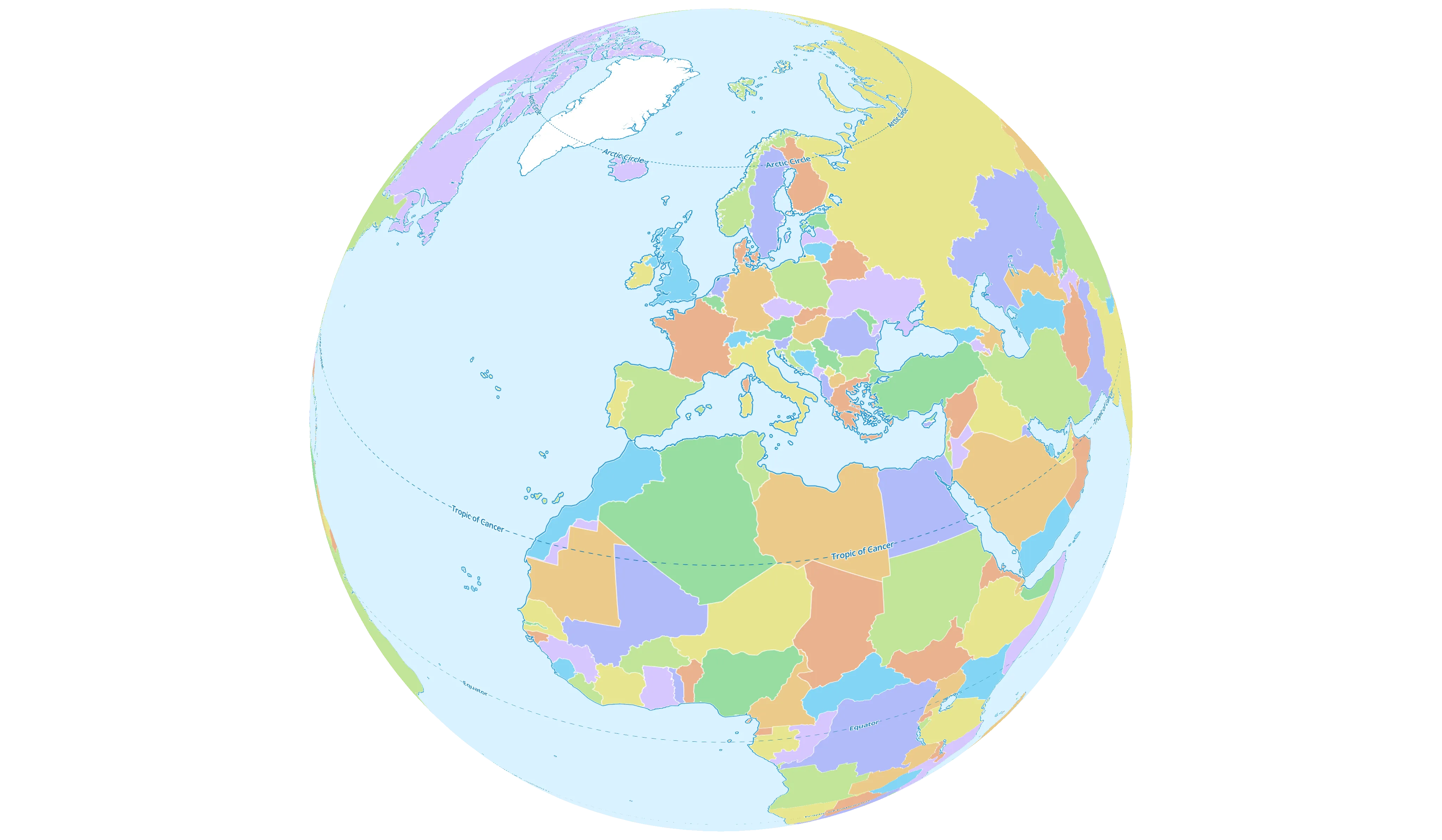
Screen grab from the MapLibre demo site showcasing vector tiles.
⚙️ Martin
We’ve released Martin 1.3.0, bringing improvements to logging, font handling, routing, and tile formats - plus several performance and UX fixes.
Highlights include:
-
More flexible logging: Martin now uses tracing instead of log, enabling better instrumentation and configurable log output via
RUST_LOG_FORMAT. Supported formats include compact (default), json, full, bare, and pretty. -
Improved glyph support beyond
U+FFFF: Fonts with characters outside the Basic Multilingual Plane (e.g. emoji, historic scripts, or private-use glyphs) are now handled correctly. We also removed FontSources.masks, reducing memory usage and startup time.Since not everyone is likely aware of what
U+FFFFmeans:U+0000-U+FFFFis Basic Multilingual Plane, which covers characters for almost all modern languagesU+10000-U+3347Fcovers minor characters such as historic scripts and emojisU+E0000-U+E01EFis for tags and variation selectorsU+F0000-U+10FFFFis for private use (i.e. can be assigned arbitrary custom characters without worrying about possible conflict with the future standards)
-
Native subpath support: A new
route_prefixconfig option and--route-prefixCLI flag allow Martin to serve from a subpath without requiring reverse-proxy URL rewriting. -
MLT decoding support: Martin now supports the MapLibre Tiles Specification (MLT), allowing MLT-based tiles to be served directly.
-
Human-readable time estimates in
martin-cpprogress output -
PostgreSQL materialized view support and improved table metadata
Check out the full changelog on GitHub, and as always, thanks to Hiroaki Yutani, David E Disch, Amanda, Kunal, thomfuhrmann, Birk Skyum, Frank Elsinga and Yuri Astrakhan who contributed to this release 💙
👥 Conferences & Events
Last month, members of the MapLibre team were on the ground connecting with the community, sharing updates, and learning alongside fellow open-source contributors at the following events:
- FOSS4G Asia in Nashik, India where Frank Elsinga held a workshop on Tile Serving with MapLibre.
- State of the Map India in Nashik, India
- FOSDEM in Brussels, Belgium where Frank Elsinga and Bart Louwers presented State of the MapLibre Tile Format.
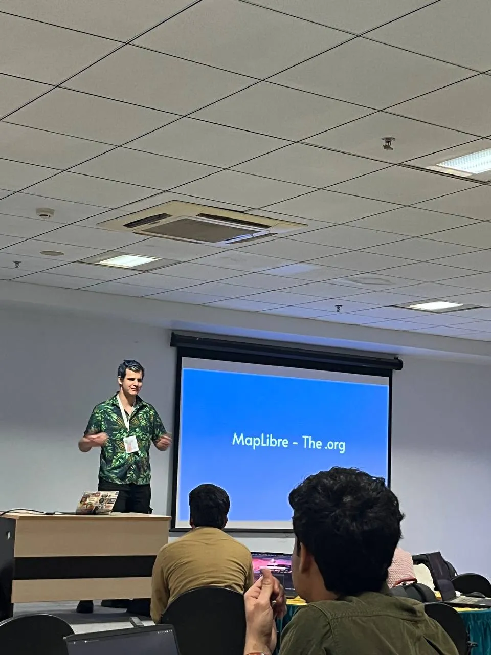
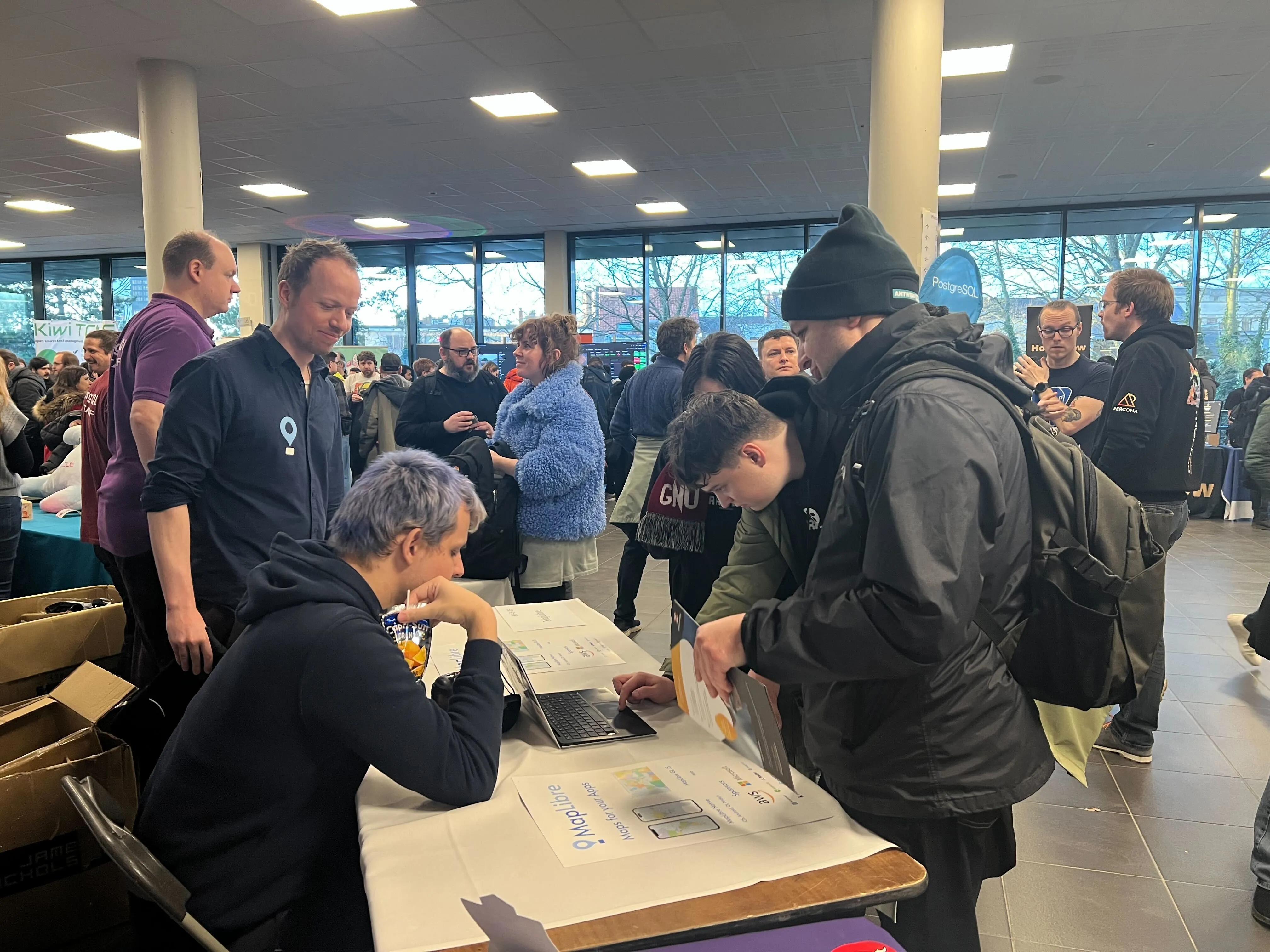
MapLibre team members at recent community conferences, including FOSS4G Asia
(Nashik, India), State of the Map India, and FOSDEM (Brussels).
It was great to meet community members in person, exchange ideas, and represent MapLibre across regions.
We’re looking forward to attending more events in the coming months. If you’d like to follow along or suggest events we should be part of, please let us know in this GitHub discussion.
🗓️ Monthly meetings
We continue our regular community calls on the second Wednesday of each month, with an additional session on the last Wednesday to better accommodate Asia/Oceania time zones.
Upcoming Calls
- MapLibre Navigation: Feb 11, 2026 – 5:00–6:00 PM UTC
- MapLibre Native: Feb 11, 2026 – 6:00–7:00 PM UTC
- MapLibre GL JS: Feb 11, 2026 – 7:00–8:00 PM UTC
🌏 MapLibre Eastern Call
Held on the last Wednesday of the month at an Asia/Oceania-friendly hour:
- Feb 25, 2026 – 9:00–10:00 AM UTC
🔗 View meeting times in your local timezone.
All calls are open to everyone. Zoom links are shared in the MapLibre Slack. Not yet a member? Request an invite via the OpenStreetMap US Slack. We’d love to see you there!
Footnotes
-
Note: crash reports may include some privacy-sensitive data such as IP addresses (see privacy policy). ↩